Switzerland


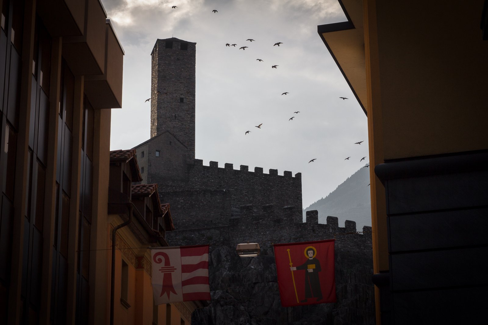
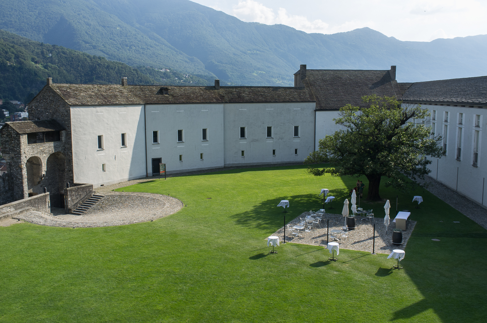
Castelgrande in Bellinzona
Bellinzona is strategically positioned where the valley narrows on the way to the Alpine passes of St. Gotthard, San Bernardino and Lucomagno (Lukmanier) in Switzerland. The town acts as a gateway to Italy for those travelling from the North, and the keyhole to the Alps for those coming from the South.
It was the Romans who realised the strategic importance of the site, and first built a castle here, in the first century A.D. In the Middle Ages this was extended to form a long, impregnable fortress. Because of its location, Bellinzona was always a bone of contention between the Dukes of Milan and the Swiss. It was only in 1516 that the town first became part of the Swiss Federation.
Castelgrande, standing atop its forbidding rocky hill, is the natural centre of the fortifications which together make up Bellinzona’s barrage. Until the 13th century, fortifications were built only on this high site, difficult to reach from all sides. The vast, flattish peak of the hill, virtually inaccessible from the north because of the steep almost vertical rock formations and slightly more easily accessible from the south by means of steep flights of steps, is about 150-200 metres in diameter. Its sloping terrace-like rock formations have meant that, in each era, man-made defence works have followed the natural contours of the rocky spur; most of remaining late medieval wall stands, therefore, on the same foundations as the Roman walls.
Source: BellinzonaUNESCO

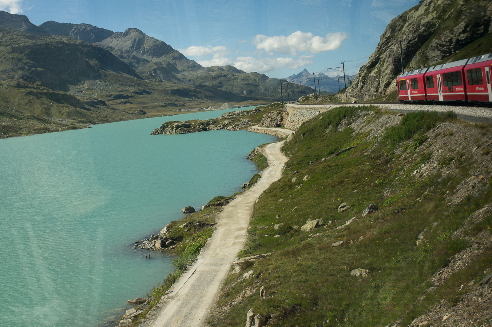
The most scenic Swiss train trip
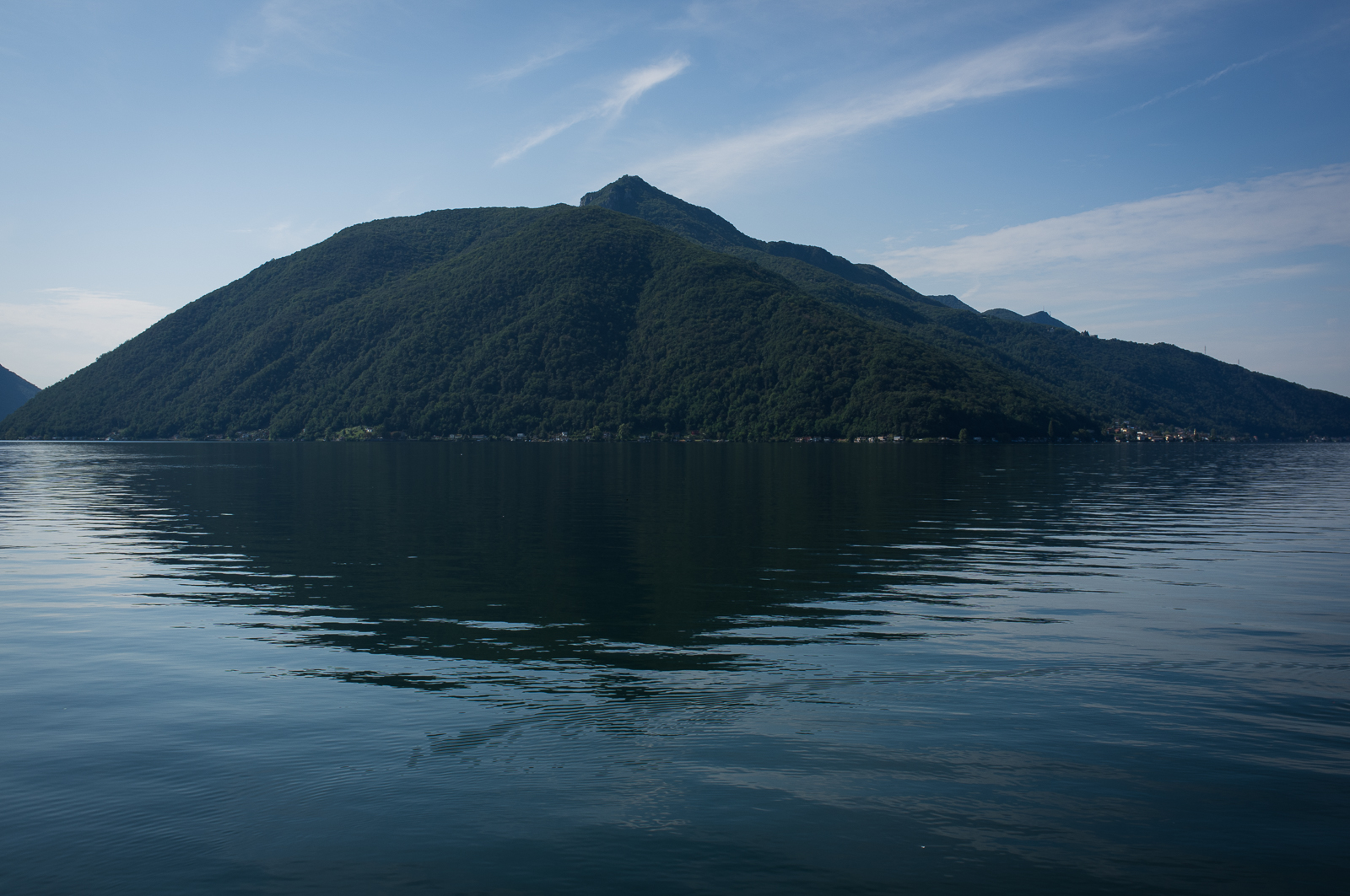
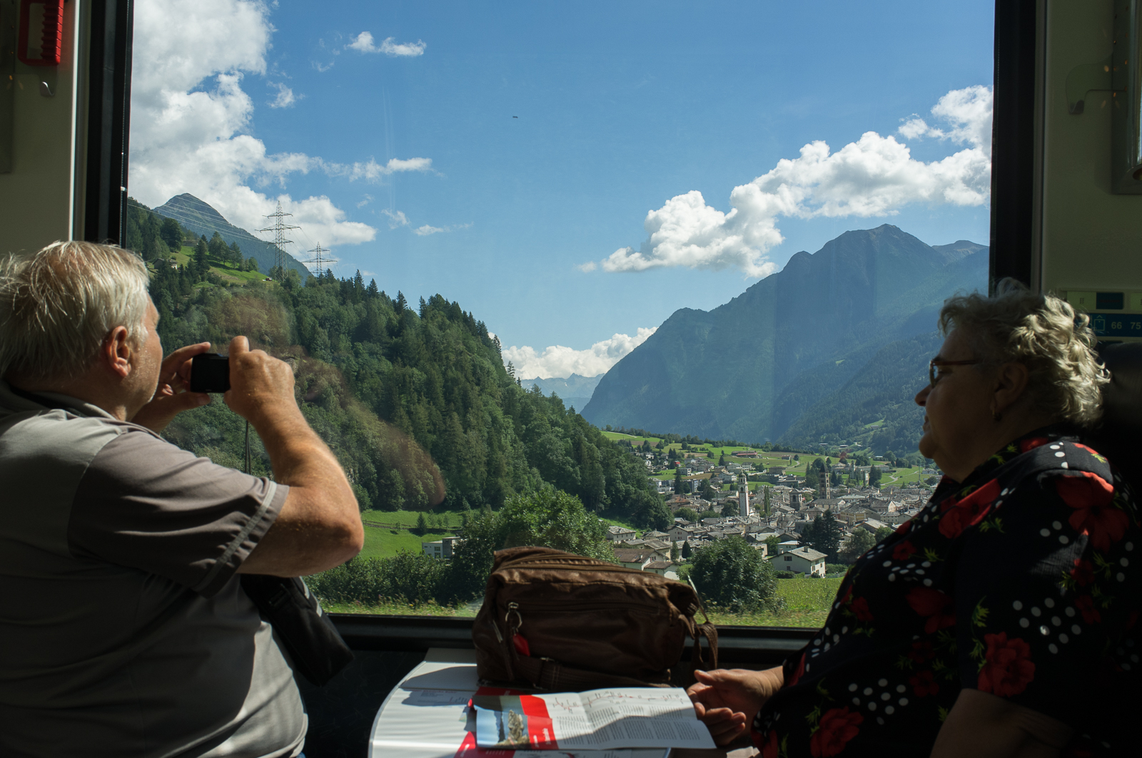
From north Italy and into Alpine Switzerland, a little red train with big panorama windows travels through 55 tunnels and over almost 200 viaducts and bridges. On its winding way from deep valleys up to glacial heights it has to climb 7% inclines in some places, to a record 2253 meters above sea level at the highest point.
The Raethian Railway is in fact two historic railway lines in one, both built about 100 years ago in the Albula and Bernina regions. The 67 km Albula line runs between Thusis and St.Moritz in the central Swiss Alps. The 61 km Bernina line takes you from St.Moritz, then southward, just across the Swiss border to Tirano near Lake Como on the Italian side. The total length of the Albula-Bernina line is 122 km with a travelling time of about 4 hours.
Another engineering highlight on this line is the circular viaduct in Brusio, about 6 km from Tirano at 717 meters above sea level. The viaduct has a 70 meters radius and 7% incline at this particular point on the line, rising 70 meters per 1000, that is.